Manchester Met Office snow alert to last six hours longer than originally thought - ‘thundersnow’ warning too

and live on Freeview channel 276
A weather warning for snow and ice issued by the Met Office for Manchester has been extended by six hours.
It’s the second weather warning to affect Manchester in the last 24 hours.
Advertisement
Hide AdAdvertisement
Hide AdThe Met Office issued the yellow status warning earlier this week.
The weather alert was valid from midnight on Friday through to 10.00am on Friday morning but the Met Office has updated its validity to 8.00pm on Thursday through to 12.00pm on Friday.
The Met Office also updated the warning with information on the possibility of a rare weather phenomenon popularly referred to as “thundersnow”.
“Winds will be gusty around heavier showers and there is also a risk of lightning strikes from isolated thunderstorms in some coastal districts,” reads the warning on the Met Office website.
Advertisement
Hide AdAdvertisement
Hide Ad“Frequent wintry showers arriving from the west during Thursday evening and overnight are likely to lead to a fresh covering of snow for areas above 100-200m (mainly 2-5 cm, but locally 5-10 cm above 200 m and as much as 15 cm over the highest ground where showers are most frequent).
“Falling snow below this level may cause some temporary slushy accumulations which then may freeze and cause icy patches where skies remain clear for long enough,” the warning ended.

What is thundersnow?
When thunderstorms form in wintry conditions they can sometimes give rise to heavy downpours of snow which are often called 'thundersnow', according to the Met Office.
Thundersnow is unusual only because it can only occur in a few months of the year.
What does thundersnow look like?
Advertisement
Hide AdAdvertisement
Hide AdWhen thundersnow occurs at night the lightning appears brighter - this is because the light reflects off the snowflakes.
Interestingly, the snow contained within the thunderstorm acts to dampen the sound of the thunder. While the thunder from a typical thunderstorm might be heard many miles away, the thunder during a thundersnow event will only be heard if you are within two to three miles of the lightning.
What to expect:
- Travel delays on roads with a small chance of some stranded vehicles and passengers, along with delayed or cancelled rail and air travel.
- There is a small chance that power cuts will occur and other services, such as mobile phone coverage, may be affected.
Advertisement
Hide AdAdvertisement
Hide Ad- There is a slight chance that some rural communities could become cut off.
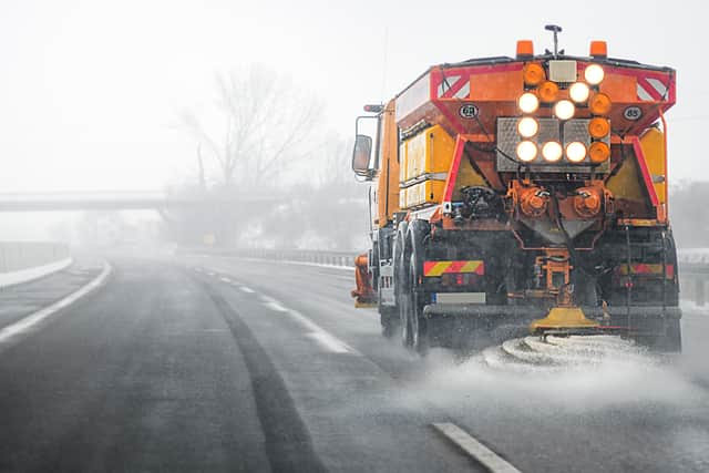
- Probably icy patches on some untreated roads, pavements and cycle paths.
North West England weather forecast
Thursday January 6 - Monday January 10
Headline:
Cold with clear spells and wintry showers.
This Evening and Tonight:
A mix of clear spells and blustery showers overnight, these will fall as snow and sleet over high ground and will bring some icy patches to untreated roads and pavements by the morning. Feeling cold but milder than last night. Minimum temperature -2 °C.
Friday:
Frequent showers of rain, sleet and hill snow throughout the morning, will continue to bring a risk of ice. Feeling cold but becoming somewhat drier by the evening. Maximum temperature 3 °C.
Cloudy with outbreaks of rain through Saturday but milder, much drier and brighter on Sunday though a little colder. Cloudy with some further rain on Monday.
(Source: The Met Office)
Comment Guidelines
National World encourages reader discussion on our stories. User feedback, insights and back-and-forth exchanges add a rich layer of context to reporting. Please review our Community Guidelines before commenting.