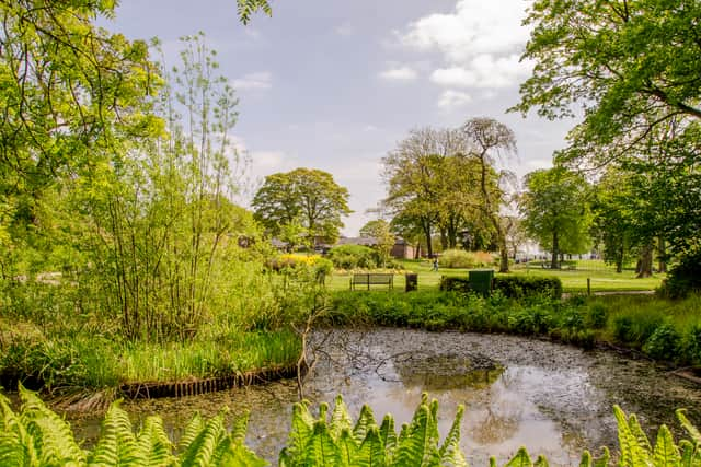
Manchester weather: will there be a heatwave in August? What the Met Office has said about it

and live on Freeview channel 276
The Greater Manchester area was baked in temperatures of around 35C at the end of last month, during what turned out to be the driest July in England since 1935 according to the Met Office.
The temperatures have stayed well above 20C in the days that followed, and we could be about to see the blistering temperatures return this month.
Advertisement
Hide AdAdvertisement
Hide AdHere’s what we know about the possible heatwave, including what the long range forecast is and what kind of temperatures could we see in Manchester.
What is a heatwave and will Manchester have one in August?

According to the Met Office, for a heatwave to be declared a threshold must be met.
The UK threshold is described on the Met Office website as: “when a location records a period of at least three consecutive days with daily maximum temperatures meeting or exceeding the heatwave temperature threshold.”
The threshold for a heatwave temperature differs by county, with some areas in the southeast having a threshold of 28°C, while areas to the north and west have a threshold of 25°C.
Advertisement
Hide AdAdvertisement
Hide AdWith this in mind, it can be said that Manchester may reach the criteria for a heatwave towards the middle of August when we could see temperatures around the mid 23C mark.
What is the Met Office outlook for Manchester this week?
The Met Office forecast for the week ahead shows very few signs of an incoming heatwave for the Greater Manchester area.
A high temperature of 24C is expected for the week ahead, with showers also expected.
Today:
A blustery and wet start, especially in the south of the region where the rain will be heavy and persistent. Turning drier and perhaps brighter into the afternoon but still quite windy with some spots of rain. Maximum temperature 23 °C.
Tonight:
Advertisement
Hide AdAdvertisement
Hide AdSome clear breaks but an often cloudy night, with a few spots of rain, mainly over higher ground. Winds gradually easing. Staying warm for most. Minimum temperature 12 °C.
Wednesday:
Outbreaks of showery rain likely through much of the day, though mostly light with some sunny breaks. Lighter winds than Tuesday. Maximum temperature 24 °C.
Outlook for Thursday to Saturday:
High pressure building through the end of the week means the weather will turn more settled but also fresher. Still some showery rain on Thursday and Friday, drier by Saturday.
This is reflected on BBC weather, with the high temperature in Manchester not expected to surpass 23C until the middle of August.
What is the long range forecast for the UK?
Advertisement
Hide AdAdvertisement
Hide AdThe Met Office long range forecast now covers the UK up until the end of August.
Here is what is in store for the nation from Sunday 7 to Tuesday 16 August
Most places are likely to see mainly settled weather at the start of this period, with a mix of cloud and sunny spells across the country.
Likely staying cloudy in the north on Sunday, with outbreaks of rain or drizzle as well as some sunny spells possible.
Advertisement
Hide AdAdvertisement
Hide AdHowever, the settled conditions are likely to spread into northern areas over the start of the week, reducing the chance of rain.
Temperatures generally above average, and often very warm or even hot in central and southern parts. Further into the period there is still the chance of some periods of organised rain in the north at times, but generally the dry weather is likely to persist across the country.
Temperatures remaining above average widely, with further spells of very warm weather possible.