
Snow and ice warning issued by Met Office for Greater Manchester - here's the details

The Met Office has issued a snow and ice warning for parts of Greater Manchester today.
The warning is set into force at 6pm this evening and will last until 9am on Wednesday morning. It covers parts of Greater Manchester including areas of Rochdale, Oldham and Tameside.
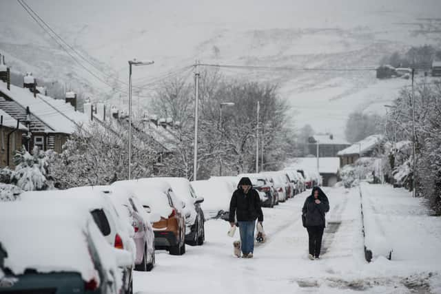

Met Office forecasters said: "Outbreaks of rain, sleet and snow will move north over mid and north Wales and northern England on Tuesday evening and Wednesday morning.”
Manchester forecast
Today’s weather is set to be murky over the hills to start with pockets of drizzle. Largely dry elsewhere with the small chance of brighter spells emerging, but mostly staying cloudy. Feeling cold in the brisk breeze. Maximum temperature 5 °C.
Turning wetter in the evening as outbreaks of rain and drizzle spread across the region overnight, falling as snow over the mountains. Winds easing. Chilly but with limited frost. Minimum temperature 2 °C.
A damp start to Wednesday as rain and hill snow gradually clears northwards. Generally drier by the afternoon, perhaps with some brighter spells as well. Slightly milder than Tuesday. Maximum temperature 8 °C.