
Met Office issues 17-hour warning for Manchester and North West as Storm Chandra hits region

Manchester is bracing for another spell of cold and windy weather when Storm Chandra hits the region tonight.
The Met Office is warning that Chandra will bring strong winds, heavy rain - and even some snow - across much of the UK on Tuesday, including Greater Manchester and the wider North West.


The forecaster has issued a 17-hour warning for rain and snow from tonight. The alert is currently in place from midnight until 5pm on Tuesday evening.
In addition to the weather warning, the UK Health Security Agency (UKHSA) has issued a five-day ‘cold-health alert’ for the region. The alert will be in effect from 6pm today (Monday, January 26) until 6pm on Friday (January 30).
The Met Office said it expects heavy rain overnight, turning to snow over high ground, which may lead to some travel and power disruption on Tuesday morning. The weather is also likely to put increased pressure on local health and social care services, including A&E departments.
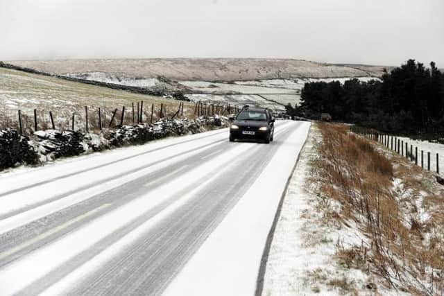
The forecaster says flooding and travel disruption are likely in some places and there will also be some significant snow across higher ground in some northern parts of England and some of Scotland.
A spokesperson for the Met Office said: “Outbreaks of rain will spread northwards on Monday night into Tuesday, falling as snow on high ground.
“Rainfall accumulations of 20-30mm are likely fairly widely with 40-50mm possible in places.
“Whilst accumulating snow is unlikely at low-levels, there will be a sharp increase in snow depths with elevation, with the potential for 2-5 cm in places above about 300m, 5-10 cm above 400m, and 10-20 cm above 500m.
“This may impact some high-level routes, with drifting possible in rather brisk southeasterly winds. Strong, gusty winds, especially to the west of hills, may exacerbate the potential for transport disruption.”
What to expect
- Some roads and railways likely to be affected with longer journey times by road, bus and train services
- Some interruption to power supplies and other services likely
- Bus and train services probably affected with journey times taking longer
- Spray and flooding on roads probably making journey times longer
- Flooding of a few homes and businesses is likely