Manchester weather: This is the exact date the heatwave will return, according to the Met Office

and live on Freeview channel 276
Manchester looks set to be hit with more extremely hot temperatures this week as it joins other parts of the country in being hit by a potential heatwave.
Here is what temperatures in Manchester need to reach in order to be a heatwave as the Met Office announce an amber warning for extreme heat across the region.
Advertisement
Hide AdAdvertisement
Hide AdWe have also looked at when the region will get these temperatures as well as the forecast for the rest of the week.
The UK threshold is described on the Met Office website as: “when a location records a period of at least three consecutive days with daily maximum temperatures meeting or exceeding the heatwave temperature threshold.”
The threshold for a heatwave temperature differs by county, with some areas in the southeast having a threshold of 28°C, while areas to the north and west - including Manchester - have a threshold of 25°C.
What will the highest temperature in Manchester be for the week beginning 8 August?
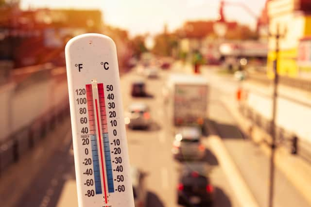

Temperatures in Manchester are set to rise to just under 30°C this week, and they will meet the criteria required to constitute a heatwave.
Advertisement
Hide AdAdvertisement
Hide AdFrom Wednesday 10 to Sunday 14 August the highest temperature in Manchester will be 26°C or higher, with the high temperature on 11,12, and 13 August set to be 28°C.
Therefore, according to the heatwave temperature threshold, Manchester will be in a heatwave from 10 August to at least 14 August.
What is the Met Office weather forecast for this week?
Below is the Met Office summary for the week ahead in the North West of England, including the Greater Manchester area.
Today:
Staying dry with blue skies and plenty of sunshine. Temperatures rising rapidly making it feel hot with light winds. Feeling a little fresher at the coast. Maximum temperature 31 °C.
Tonight:
Remaining dry with clear skies. After a hot day, temperatures only slowly subsiding, and mostly remaining in the mid to high teens leading to an uncomfortable night for many. Minimum temperature 14 °C.
Friday:
Advertisement
Hide AdAdvertisement
Hide AdAfter the warm start, temperatures will rise steadily throughout the morning under sunny skies. Feeling hot on Friday afternoon in the sunshine, and with light winds. Maximum temperature 32 °C.
Outlook for Saturday to Monday:
Dry and sunny on Saturday, and turning very hot. A little cloudier on Sunday, but still hot. Cloudier still on Monday with a risk of showers. Still feeling very warm.
What is the UK long range weather forecast?
The Met Office has published its UK wide long distance forecast from Friday 12 to Sunday 21 August 2022.
A key take is that temperatures are still expected to remain “very warm” across much of England and Wales.
Advertisement
Hide AdAdvertisement
Hide AdThe forecast reads: “The start of the period will likely be fine and sunny for most. Cloud and outbreaks of light rain may be seen in the far northwest on Friday, along with possible coastal mist or fog.
“Winds are expected to be mostly light and temperatures above average, becoming warm in the north and hot in the south. Into the weekend and through next week, mainly dry and settled weather will likely continue for most.
“The north is expected to see the most of any precipitation, but there is also a low risk of thunderstorms developing in the south.
“Temperatures will likely be very warm, locally hot for much of England and Wales, especially across the southern parts, but closer to normal while still warm elsewhere.”