Manchester weather: Sub-zero temperatures to reach -6°C says Met Office as wintry conditions to last days

and live on Freeview channel 276
As the third week of the new year starts with the year’s most depressing day, Greater Manchester sees some colder but sunny weather to hopefully help deal with the Blue Monday gloom. The Met Office weather forecast shows snow flurries could occur in the North West and with temperatures dropping to sub-zero overnight.
Monday (January 16) starts off frosty and most of the region will see a crisp and sunny winter’s day. Areas along the western coasts might experience a few snow flurries later on in the day, but for the most part it will be a breezy and cold day with temperatures around 4°C.
Advertisement
Hide AdAdvertisement
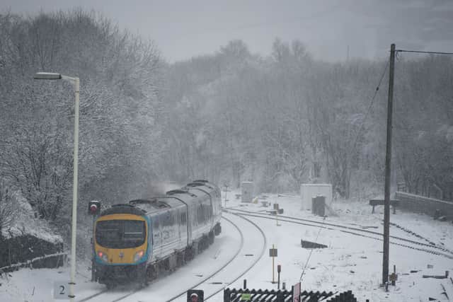
Hide AdA yellow weather warning for snow and ice has been issued between noon Monday and noon Tuesday in the western parts of the region, and is affecting Wigan and Leigh. The warning means some roads and railways are likely to be affected with longer journey times and an increased risk of injury from slips on icy surfaces.
There is a small chance of snow flurries later on in the evening, however most places are looking to stay dry and clear. Temperatures are set to drop quite a lot overnight, with cold and frosty weather and temperatures dropping to -6°C.
Tuesday will likely remain dry and sunny across Manchester and the North West with a few risks of snow flurries yet again along the western coasts. It will be a cold day with temperatures unlikely to exceed 4°C.
The wind will increase in force as we hit midweek, and increased risk of wintry showers in the area. Thursday and Friday are however looking dryer and brighter again with a risk of some rain coming in later towards the weekend.
Advertisement
Hide AdAdvertisement
Hide AdTemperatures are looking to increase again over the weekend, reaching up to 9°C on Sunday. Widespread overnight frost is however expected throughout the entire week.
North West England weather forecast:

Today (Monday):
After a frosty start, most places will have a crisp winter’s day with plenty of sunshine. A few snow flurries may clip western coasts later. Quite breezy and feeling cold. Maximum temperature 4°C.
Tonight:
Snow flurries are possible in Merseyside and Cheshire this evening, and the odd one may crop up elsewhere. However, most places staying dry with clear spells. Turning cold and frosty. Minimum temperature -6°C.
Tuesday:
Another generally dry day with plenty of bright sunshine. Isolated wintry showers or snow flurries are possible, mainly near western coasts. Light winds freshening later. Feeling cold. Maximum temperature 4°C.
Outlook for Wednesday to Friday:
Advertisement
Hide AdAdvertisement
Hide AdWindier on Wednesday with sunny spells and wintry showers. Mostly dry on Thursday and Friday with some sunshine, but a chance of rain later. Cold with widespread overnight frosts. (Source: The Met Office)
Comment Guidelines
National World encourages reader discussion on our stories. User feedback, insights and back-and-forth exchanges add a rich layer of context to reporting. Please review our Community Guidelines before commenting.