
Met Office issue snow and ice warning for Greater Manchester as temperature drops to -6°C

A yellow alert is issued as snow and ice warnings cover Greater Manchester.
The Met Office has issued a weather warning for snow and ice in Manchester with temperatures set to drop to -6°C.
The yellow alert will come into force at 3.00pm yesterday with travel disruption taking place this morning.
The warning covers much of Greater Manchester and the North West, with “some roads and railways likely to be affected with longer journey times by road, bus and train services”. It is in force until 12.00pm on Monday (January 5).
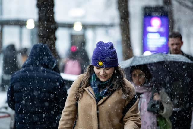

Today is expected to be a very cold, frosty and icy start for many. Plenty of crisp winter sunshine today but perhaps the odd snow flurry in Pennine regions. Feeling cold with temperatures struggling to rise much above freezing and staying sub-zero over higher ground. Maximum temperature 2 °C.
Tonight, temperatures will be quickly falling below freezing this evening with a widespread and severe frost forming. Starry skies overnight but perhaps a wintry shower in coastal regions later. Icy stretches in places. Minimum temperature -7 °C.
Tomorrow will have a very cold start with another severe frost. Mainly dry with isolated wintry showers but occasional longer spells of rain or snow later, albeit probably mostly light. Turning slightly milder. Maximum temperature 5 °C.
North West locations impacted by Met Office snow and ice warning
- Blackburn with Darwen
- Blackpool
- Cheshire East
- Cheshire West and Chester
- Greater Manchester
- Halton
- Lancashire
- Merseyside
- Warrington