
Large number of streets to be hit by new rules to stop nuisance parking around major Manchester hospital

Problems with ‘nuisance’ parking around a major hospital could be curbed under new plans set to be brought in next year.
Salford council is looking at expanding a parking permit scheme around Salford Royal Hospital after ‘multiple’ requests from residents.
It would restrict parking at specified times along more streets around the hospital site to residents with a valid permit.
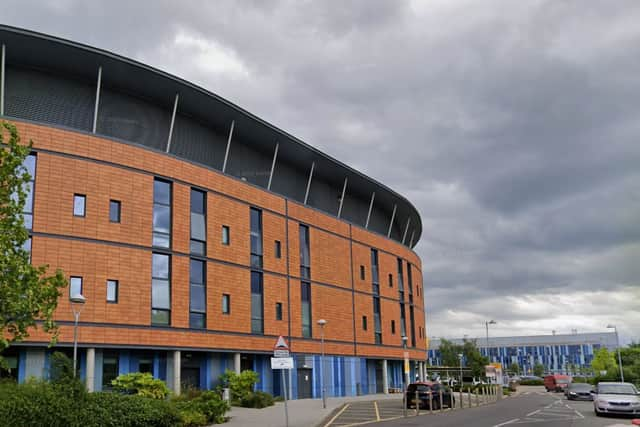

A timeline for the process showed the expansion could be rolled out in summer 2026.
The current scheme in place around the hospital covers areas to the north, east and west of the hospital grounds, and the existing scheme in these areas has different times and days of operation.
The Northern Care Alliance NHS Foundation Trust, which runs Salford Royal Hospital, has declined to comment.
Salford council approved plans to expand the scheme in principle in November, setting a traffic regulation order in process and outlining which streets could be included in the enlarged area.
A report stated: ‘The expansion would cover areas where the residents are currently experiencing the most nuisance.
‘It should be noted that there will be a degree of commuters parking, however it is considered that if the parking will move further, it should not cause major daily issues.’
The parking problems have been put down to commuters from the direction of Monton and Eccles town centre, as well as ‘numerous schools’ based to the east of the hospital, according to the report.
If the parking permit scheme is expanded, the council is planning to monitor its performance and could make changes if needed.
Streets proposed in the initial expansion plans included:
- Gilda Crescent
- Glendale Road
- Snowdon Road
- Victoria Crescent
- Clarendon Crescent
- Gilda Crescent Road
- Half Edge Lane
- Bindloss Avenue
- Emerson Avenue
- Crawley Avenue
- Preston Avenue
- Preston Close
- Eccles Old Road 119-145 (odd)
- Tootal Drive, from its junction with Eccles Old Road, to a point 25 metres south east from the south eastern extended kerbline of Normanton Avenue
- Whitby Avenue
- Bridlington Avenue
- Wentworth Avenue, from its junction with Tootal Drive, to a point 25 metres south east from the south eastern extended kerbline of Normanton Avenue
- Normanton Avenue
- Otley Avenue
- Arnside Drive
- Bishop Road
- Cholmondeley Road (between Lancaster Road and Guildford Road)
- Hayfield Road (between Lancaster Road and Guildford Road)
- Guildford Road, between Hayfield Road and Fairhope Avenue
- Fairhope Avenue
- Burdale Drive
- Hopecourt Close
- Selby Drive
- Mayfair Avenue
- Malvern Grove
- Cleveland Avenue
- Fairleigh Avenue
Additional roads were also proposed as part of the expanded scheme:
- Orient Road
- Orme Avenue
- Odessa Avenue
- Ormonde Avenue
- Otranto Avenue
- Orama Avenue
- Oxford Road
- Highfield Road (between Lancaster Road and Winchester Road)
- Cholmondeley Road (between Lancaster Road and Winchester Road, including Graham Road)